500 square miles is a lot of land. The South Australians are still rankled over losing it. Particularly because they lost it to Victoria. It all began nearly 200 years ago with a clock error. Victoria is too big!
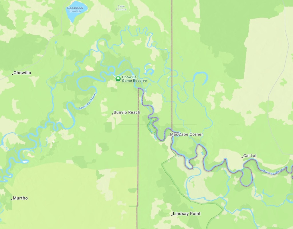
If you look at the border between South Australia and Victoria a curious blip occurs at the Murray River before the border continues north delineating NSW.

In 1834 Victoria was not yet a separate colony from New South Wales. The ruling authorities in England approved the establishment of the boundary between NSW and SA on the 141st meridian. The approved plan was to establish the position of the 141st meridian on the southern coast then work due north.
Finding the longitude requires accurate time. The earth rotates once every 24 hours mean time. 360 degrees rotation in 24 hours is 15 degrees of longitude per hour. Knowing the time difference between the zero meridian at Greenwich and the observer’s position is equivalent to knowing the longitude.
A separate technical sidenote: the sun’s apparent motion around the earth varies in time through the year, sometimes a little ahead of the clock, sometimes behind. Hence the notion of mean time which is where the sun would be if its apparent motion was uniform.
Back to 1834: surveyors and astronomers travelled from Sydney to the coast between current day Portland and Port MacDonnell. There, they determined the location of longitude 141 E. At least that’s what they thought they did.
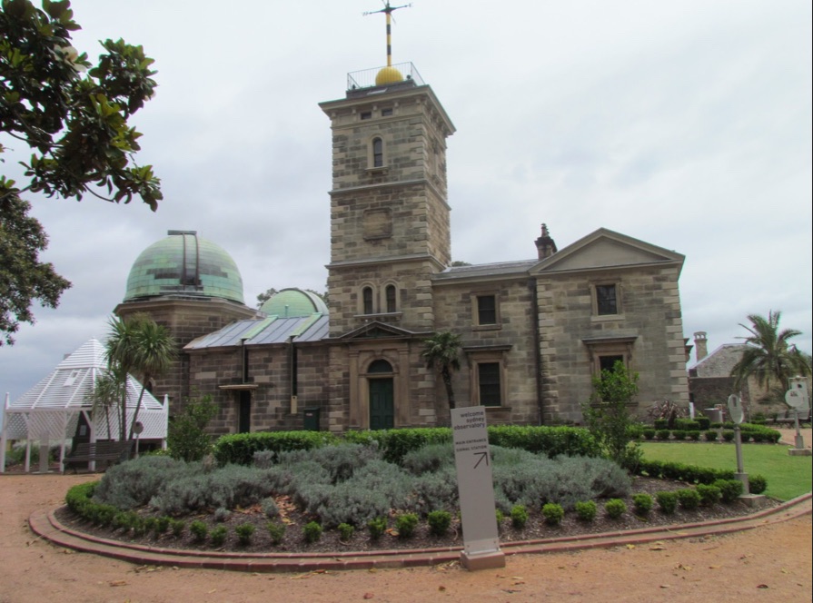
Keeping accurate time today is not a problem. But in 1834 it was. Accurate timepieces able to withstand movement, changes in atmospheric pressure, temperature, friction, corrosion, weakening springs were still relatively new. If they could maintain accuracy between periodic checks by astronomical observations, they would be used at naval and shipping ports to signal the correct time to ships’ navigators. The timeball tower is a feature around the world. At a set time, usually 1pm each day, the ball would be dropped, having being raised in anticipation 10 minutes earlier. Synchronize watches, Bond.
However, there was no timeball tower within 200 miles of the 141st meridian on the southern coast. Travelling with chronometers from Sydney would have taken weeks and been bone jarring. The spot was established. And it was in the wrong position. It was 2 miles 19 chains too far west. The error was discovered within 20 years.
At the equator, a clock error of 4 seconds is equivalent to 1 nautical mile. At the latitude of Victoria, a little less. So the clock error would have been no more than 8 seconds. (Ed note: fast or slow?)
The continuation of the border north of the Murray River had been delayed for various reasons. Consequently it was correctly positioned on the 141st while the dispute south of the River was unresolved.
Another 50 years of legal wrangling ensued. But the South Australians got nowhere. The highest possible appeal court, the Privy Council in London, ruled in 1914: a boundary surveyed, marked and proclaimed must stand.
